We’re very pleased to announce that legacy versions of the City’s open data sets are now available through our online database.
The City of Vancouver’s Open Data Catalogue has its roots in the “Open3” motion (Open Data, Open Standards and Open Source) passed by Vancouver City Council in 2009, which declared the City’s endorsement of the principles of open and accessible data, including the free sharing of data with citizens, businesses and other jurisdictions without compromising privacy and security. Part of the City’s response to the motion was the launch of the Open Data website in September 2009. In 2011, the City of Vancouver was recognized by BC Business as the Most Innovative Organization in BC for the open data initiative.
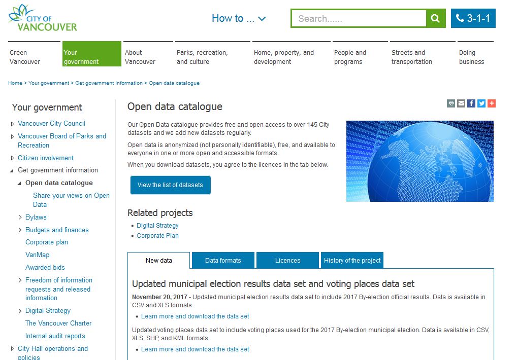
British Columbia’s strong and growing open data community uses raw City data, alone or in combination with data from other sources, to identify, analyze, and present solutions to challenges facing citizens of Vancouver and BC. The data sets on the Open Data Catalogue are updated on an ongoing basis (the refresh rate varies across sets). Recognizing that retaining historical data would enable the community to identify trends and changes across time, resulting in richer analysis of civic issues, the Archives began to grab snapshots of the datasets – first semiannually, then quarterly – in order to preserve the overwritten data sets and make them available to the public.
How to access legacy data sets
Data sets are organized by subject, and each file title also contains the date the data sets were grabbed. You can find the file descriptions by searching “open data catalogue” (in quotation marks) in our online database’s main search bar.
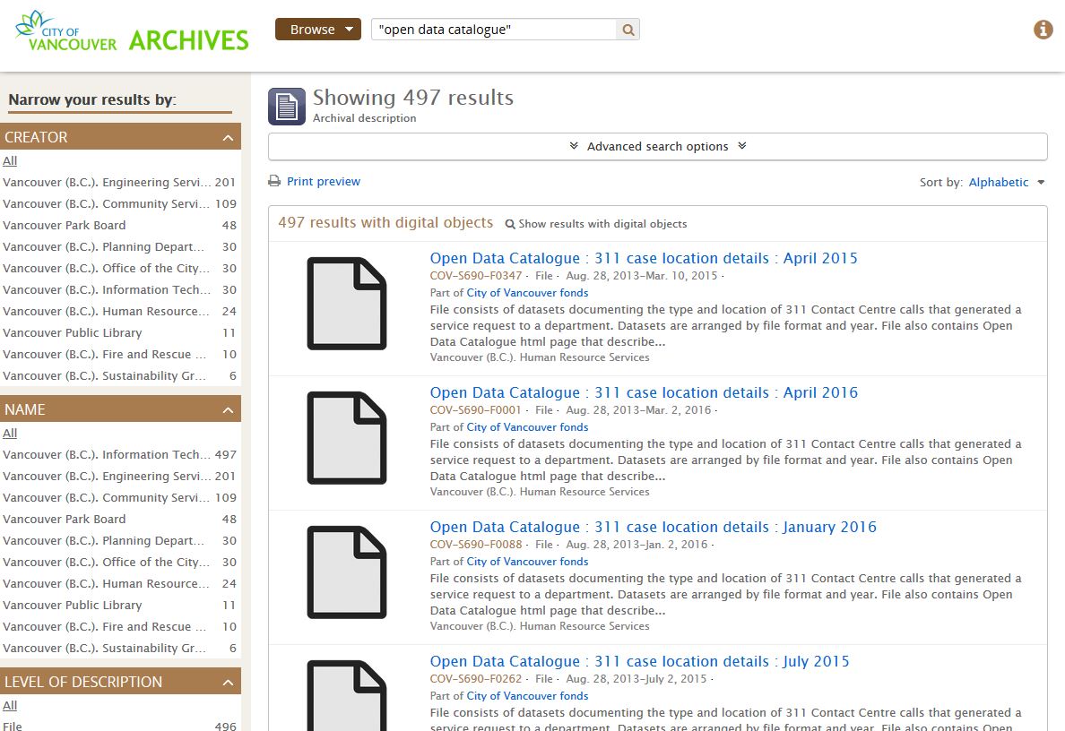
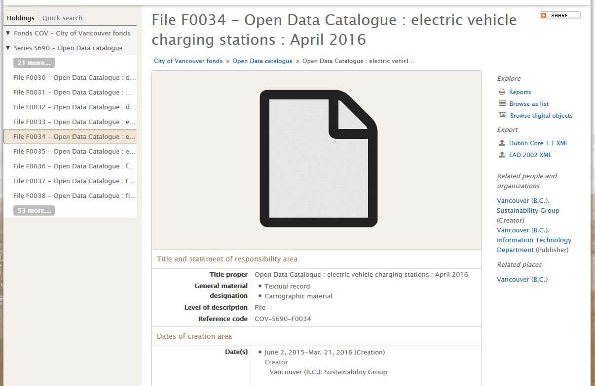
Click on an individual result to go to the full file description for the data set of your choice. As an example, here is the description for the electric vehicle charging stations data as at April 2016.
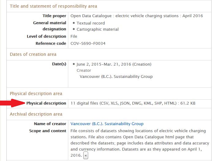
City open data comes in a variety of formats, including csv (tabular data in plain text) and xls (Microsoft Excel spreadsheet), and geospatial formats like kml and Shapefiles. We have zipped all available formats for a given subject and presented them as a single downloadable package.
The formats available for a given subject on a given date appear in the Physical description field.
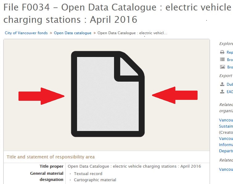
To download the data package, click on the document icon at the top of the description.
Currently, data sets grabbed between October 2014 and April 2016 are available, and there are more to come. We would love to see what the community produces with the data, so don’t hesitate to share your projects with us. Happy data wrangling!


