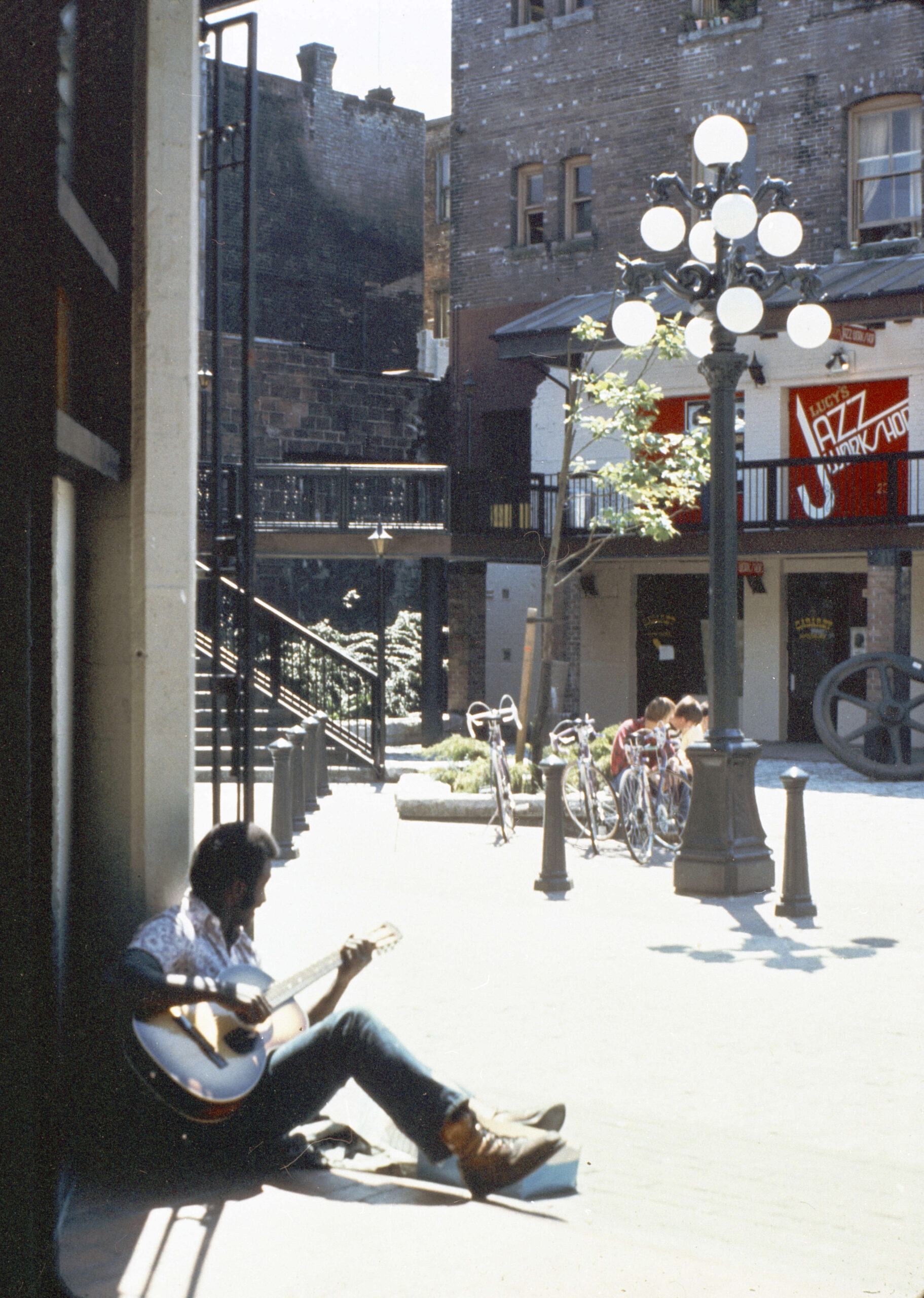
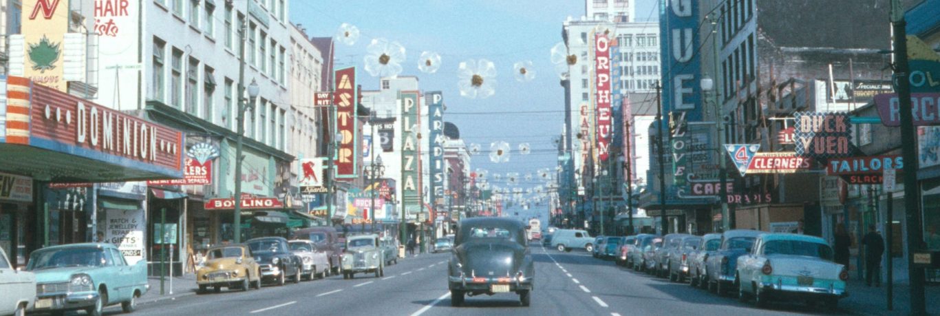
As of late last month another 7,083 Heritage Inventory photographs and 1,001 Intersection photographs have been uploaded to our online database, with a smaller subset on flickr. These photographs come from the Vancouver (B.C.) Planning Department and the Vancouver (B.C.) Engineering Services Department respectively. These 8,084 items are further demonstration of our ongoing efforts to make our negatives more accessible through the process of digitization. The digitization of these photographs would not have been possible without funding from the British Columbia History Digitization Program and the Friends of the Vancouver City Archives.
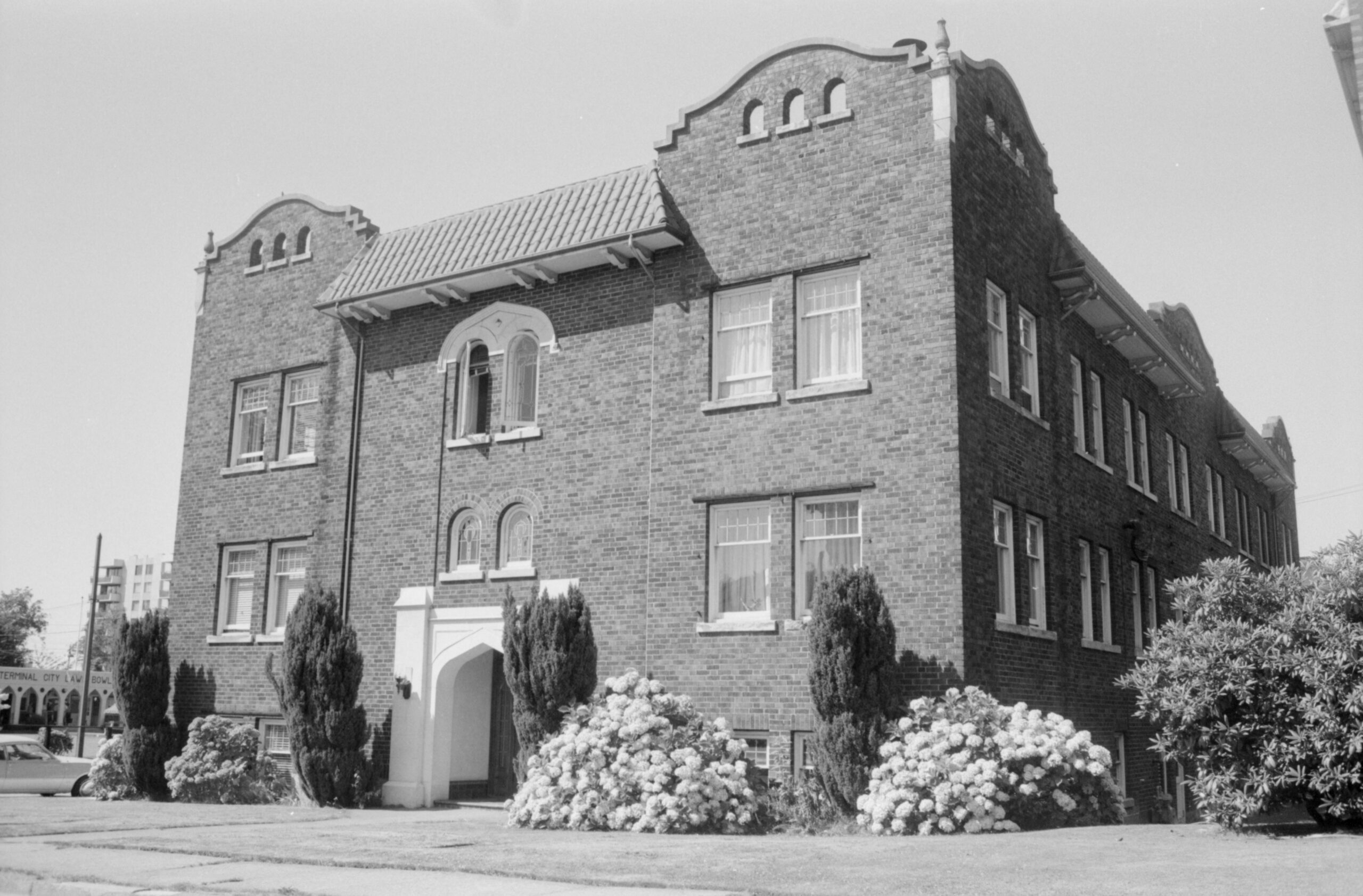
All film negatives in our repository are kept in the Archives’ frozen storage unit for preservation purposes. When photographs have not been digitized it requires at least 24 hours notice for staff to pull the records from the freezer and allow them to come up to the temperature of the reading room, where researchers still need to use a light box and often a magnifying glass to view them properly. In addition to having to conduct this type of research on-site, as opposed to from the comfort of your own home (which you can do with any of our digitized material), the contents of a negative can often be difficult to decipher as the colours and tones are inverted. The image below is good example of this. In negative form it was difficult to determine what the photographer was trying to capture, as the snow simply made the streets look very dark. Once digitized however, it was clear that these sixteen nearly identical photographs were the photographer’s attempt to capture the presence of this rare substance.
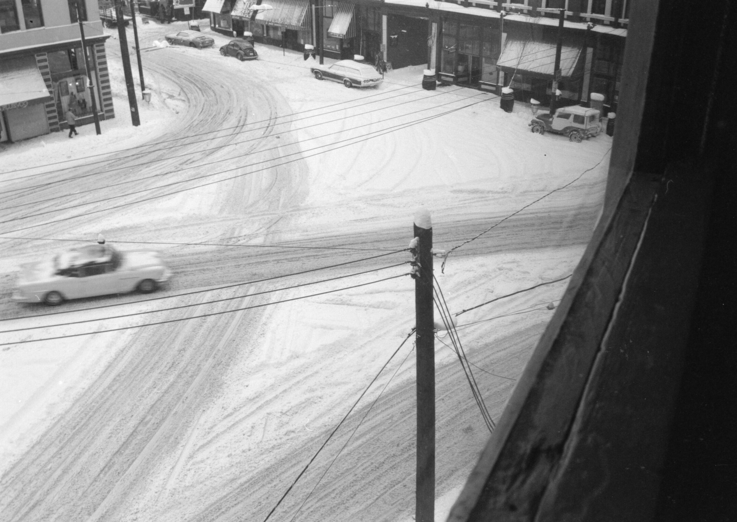
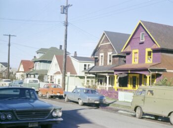
Similarly to previously uploaded Heritage Inventory photographs, which you can read about here and here, this batch of photographs also primarily depicts the exterior of built structures from everything such as houses and apartment buildings to churches, schools, and commercial buildings.
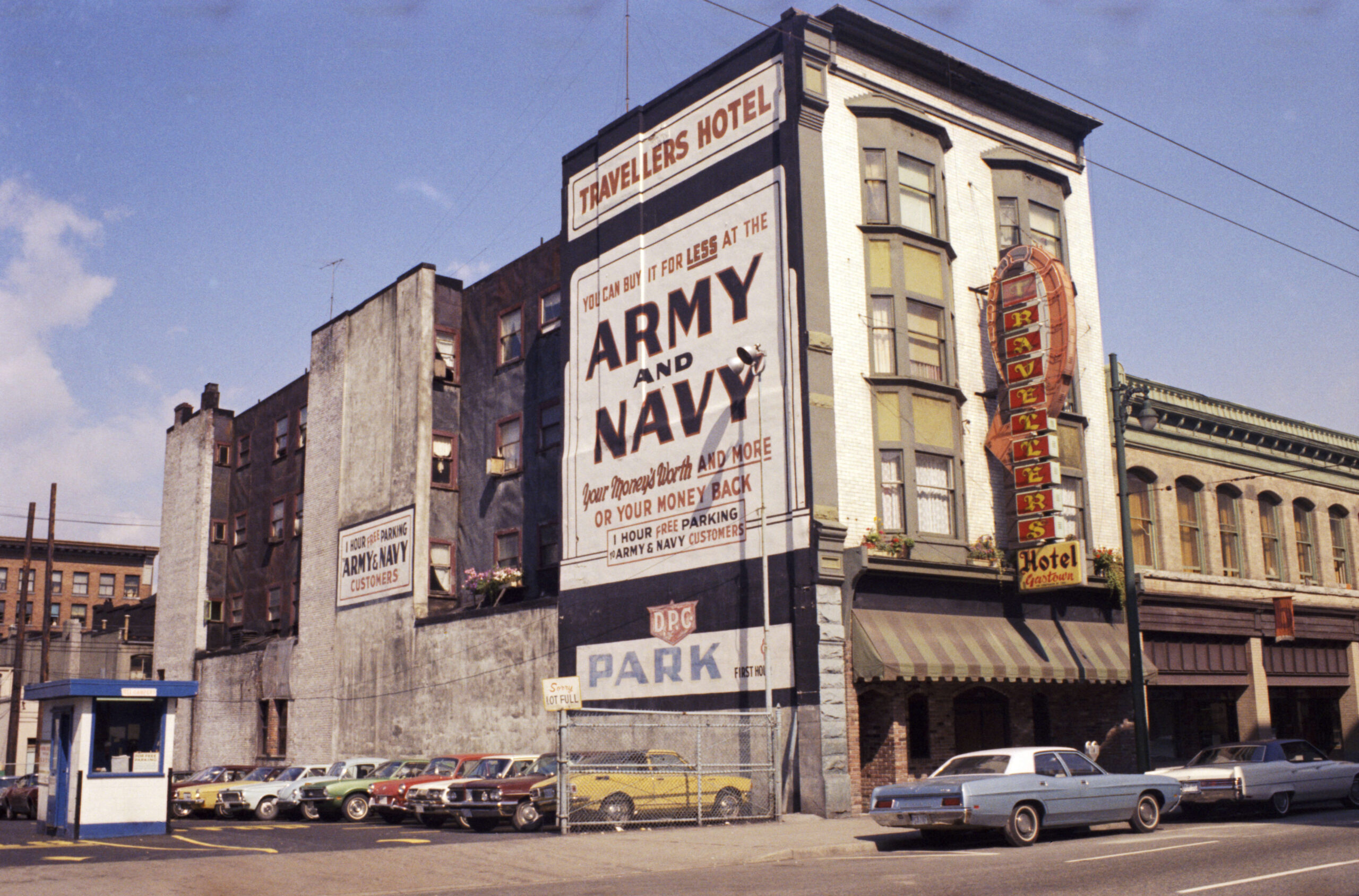
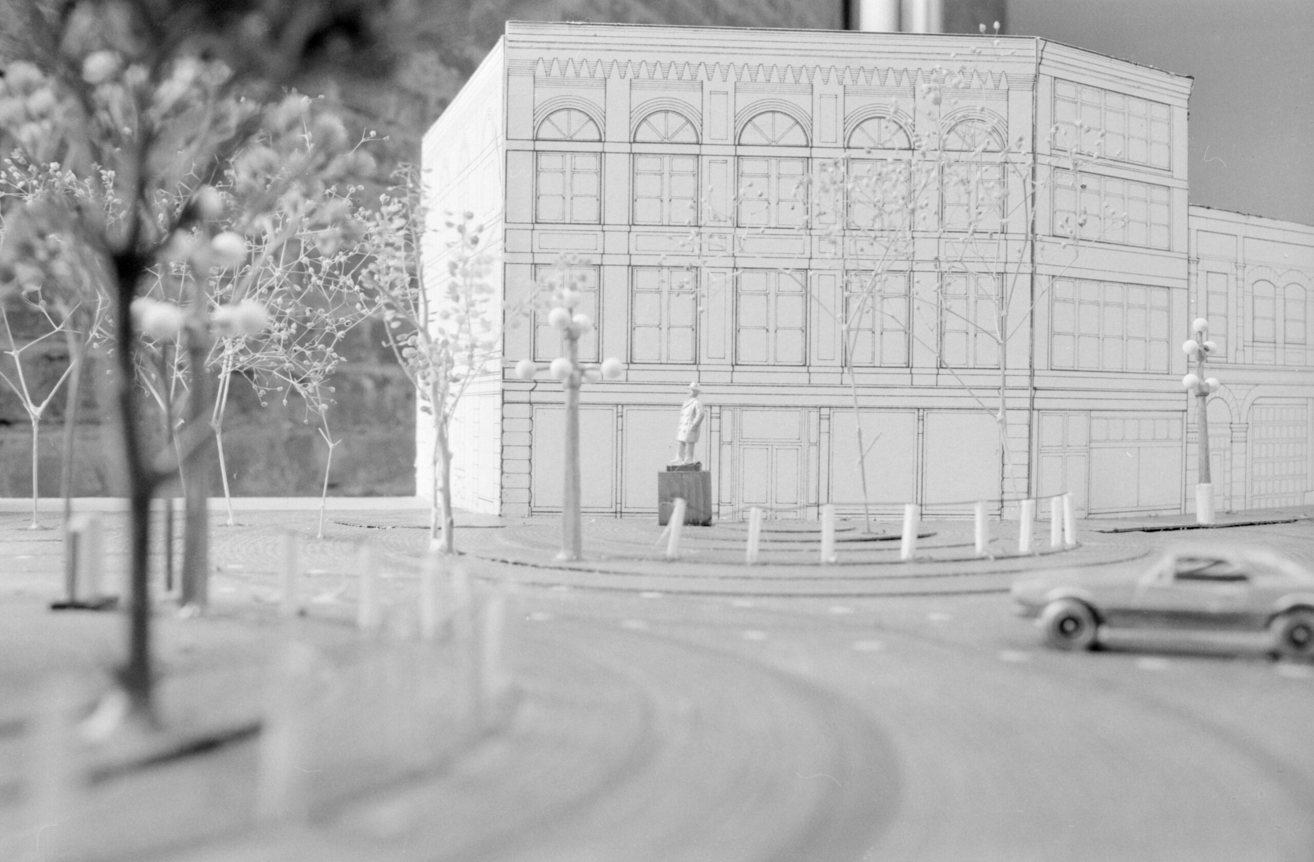
Almost all of Vancouver’s neighbourhoods are depicted but again there is a strong focus on the Gastown, Chinatown, and Downtown areas. Interspersed among photos of barbershops and Shaughnessy mansions are the occasional outliers, such as photos of a scale inside the Canadian Pacific Railway Station, or photos of a Maple Tree Square model from the late 1970s.
Taken between 1964 and 1977, these photographs are the result of research conducted by Heritage Planners and private heritage contractors on behalf of the Planning Department. Many of these photographs have corresponding textual records, located in Series S682, which provide more detail on the structure. Details may include the size, map coordinates, and owner of the property; information about the original architect, engineer, and contractor; and notes on any historical or architectural importance. The file location for related textual records can be found in the “Associated materials” section of the photograph’s description.
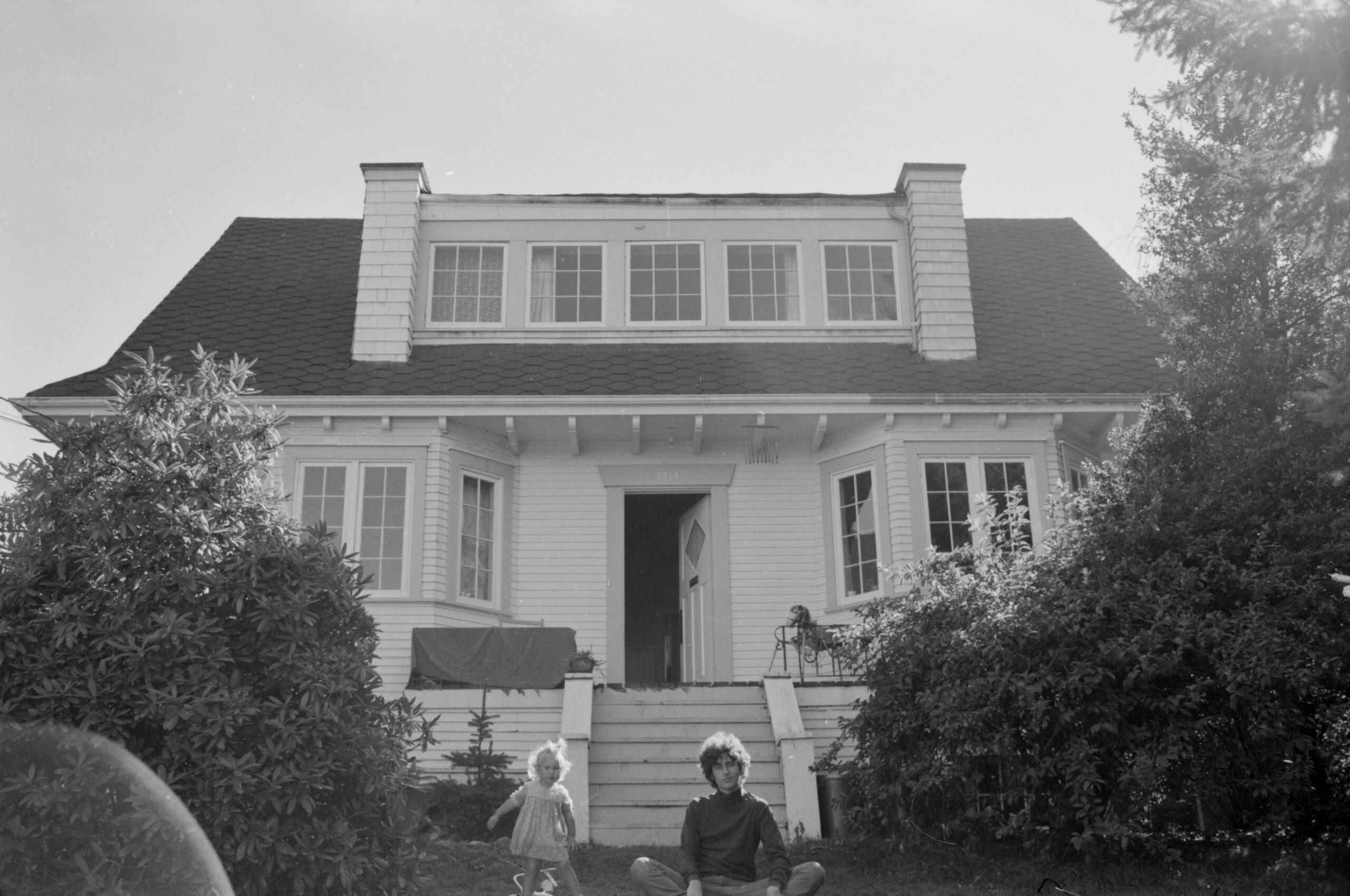
Having fulfilled their primary purpose, these records now exist to aid individuals in their various research pursuits. Heritage Inventory photographs are often consulted by researchers conducting house history inquiries, historians looking into specific neighbourhoods or historical buildings, and genealogists tracking the various residences of family members. Most photographs only depict the built structure in question, but some researchers might get lucky and catch a glimpse of a beloved family member relaxing on their front lawn.
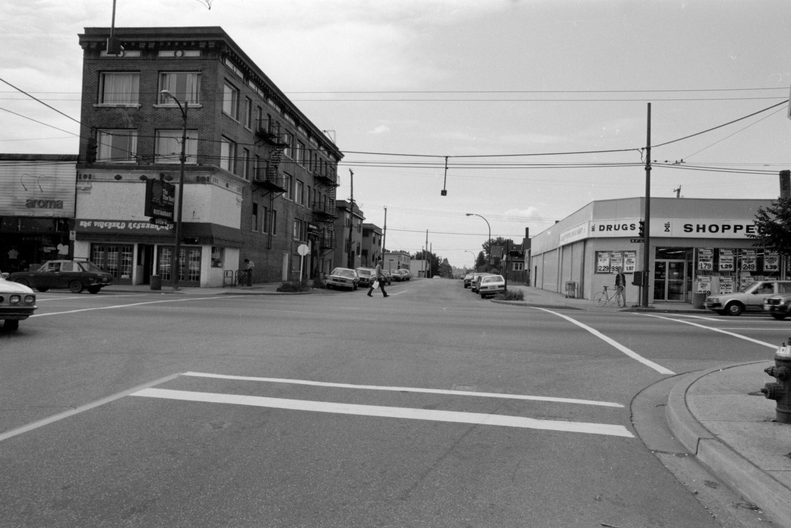
The newly uploaded Intersection photographs are an addition to the pre-existing 1,625 photographs and 337 photostatic reproductions of intersections in Subseries 1 – Intersection photographs of Series S505 – Transportation Division traffic management photographs. Falling under the jurisdiction of the Vancouver (B.C.) Transportation Division (a subordinate of Vancouver (B.C.) Engineering Services), these photographs were taken at intersections looking in each cardinal direction for the purpose of traffic analysis. These Intersection photographs are a natural companion to the Heritage Inventory project as both series cover many of the same geographical locations, and therefore many of the same built structures. While the Heritage Inventory photographs were taken as early as 1964 and no later than 1977, the Intersection photographs were taken in the early 80s (predominantly 1982) and therefore allow researchers to study the changes and similarities across nearly twenty years.
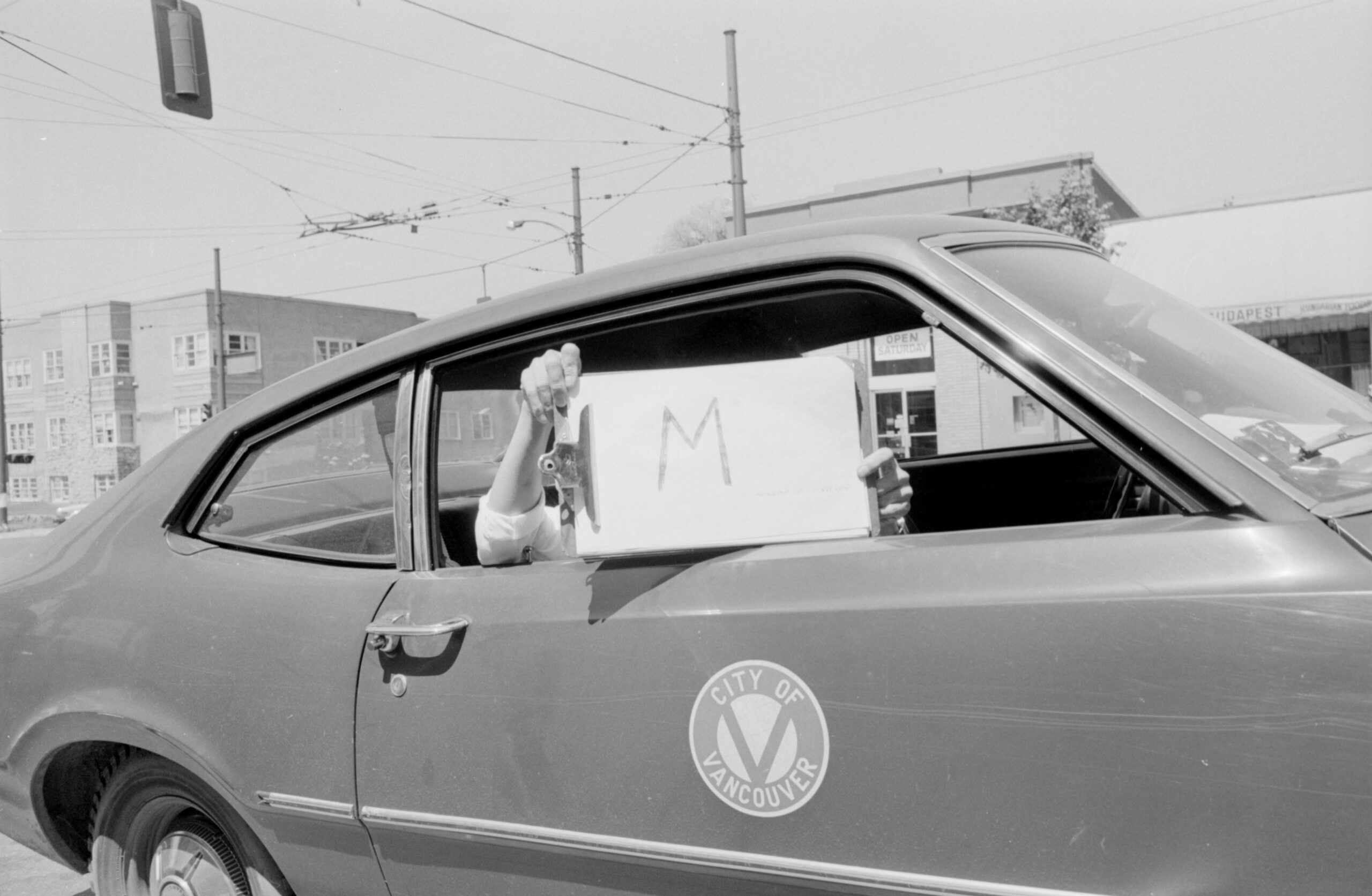
While the vast majority of the photos in this series depict city street corners from the vantage point of the middle of the road, every now and then there is a photograph that sheds light on the process of this project, as shown in the photograph below. Here we can see an individual in a City of Vancouver car holding up a clipboard with the letter “M” on it. This was the photographer’s way of denoting the beginning of a new roll of film. When negatives are scanned, digitized, and uploaded to the database we often lose sight of some of the original organization of the records, but it is photographs like this that allow us to consider how original order may have played an important role to the creator. They also give us a chance to reflect on how different city vehicles look today.
So whether you’re doing house history research, looking into a specific heritage building, or simply wanting to take a walk down memory lane, why not check out all that our Heritage inventory has to offer!
